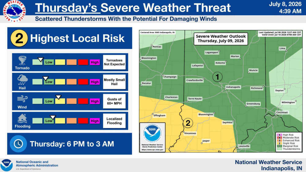
BARTHOLOMEW COUNTY, Ind.- The National Weather Service is forecasting the potential for strong to severe thunderstorms across south central Indiana on Thursday evening, July 9 into early Friday morning, July 10.
Bartholomew County is currently under a Marginal Risk (Level 1 of 5) for severe weather on Thursday (6:00 p.m.– 3:00 a.m.) Scattered thunderstorms are expected to develop during the evening and overnight hours. While widespread severe weather is not anticipated, a few storms could become severe.
Thursday Hazards
• Damaging wind gusts over 60 MPH (primary threat)
• Small hail
• Localized flooding from heavy rainfall
• Tornadoes are not expected at this time
 CPD begins 'active shooter' training at North
 Edinburgh's UTV Ordinance goes into effect on July 17
 2026-2027 Leadership Bartholomew County class applications are open
 Forbes 2026 list of America's best in-state credit unions includes Centra
 DNR opens reserved hunt applications